


The Open Spaces Society is celebrating the addition of a 2.3-kilometre restricted byway to the official map of public paths in East Sussex.
The route was claimed, based on historical evidence*, by the society’s local correspondent for Lewes, Chris Smith.
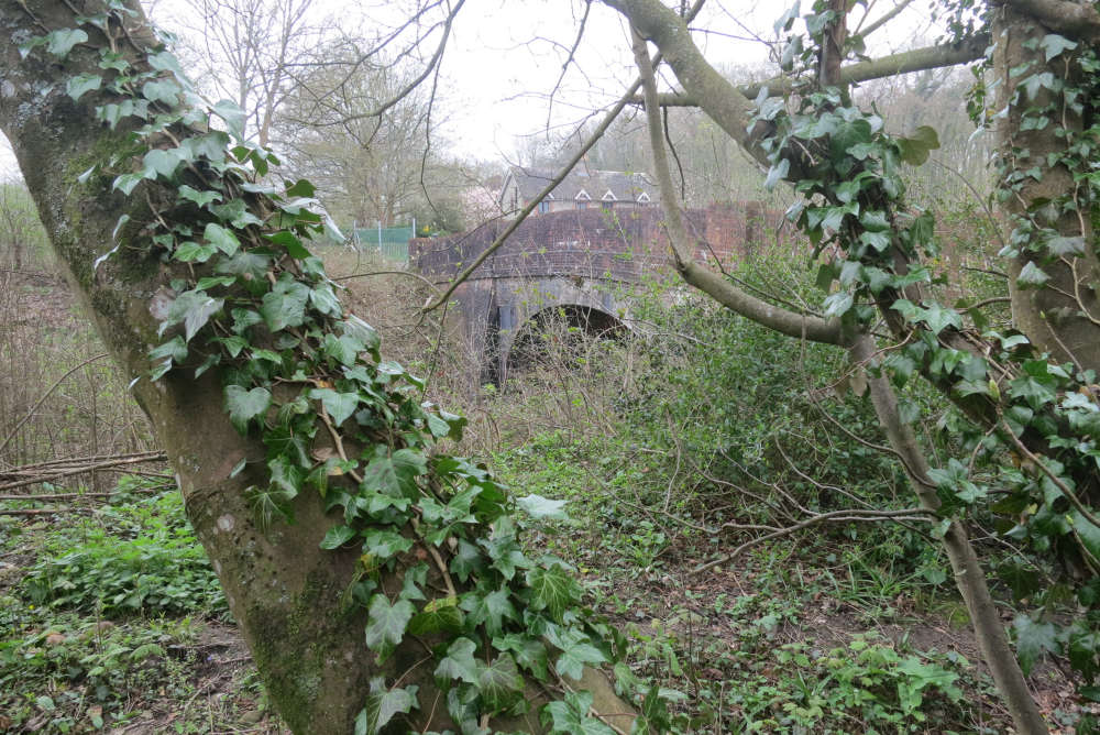
The path runs from Robin Post Lane in the north (to the west of the A27 between Hailsham and Polegate), south to cross a bridleway which is part of Sustrans national cycle route 2 (which runs along the south coast), then to Hide Cottage before descending to the A27 from where it is possible to access the new cycle route from Lewes to Polegate.
Chris Smith did "copious" research to prove that the route was a public highway, and East Sussex County Council, the surveying authority, did more.
The council made an order for the path, but the landowner objected and so the matter was referred to a planning inspector to determine.
On August 9, inspector Gareth W Thomas ruled that the path was a public highway and should be added to the definitive map as a restricted byway.
He commended the evidence submitted by the applicant and the objectors as ‘very comprehensive’.
However, ultimately he considered that the records relating to the railway, which is crossed by the path at its southern end, were decisive.
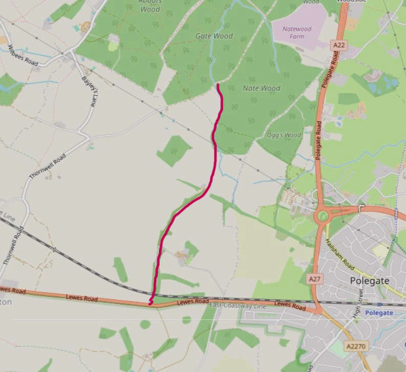
Map of claimed route shown in red.
The Railway Acts allowed for compulsory purchase of land to build railways, and although they were not produced to record public rights of way, the plans needed to be accurate.
The railway plans for this site, of 1839 and 1843, stated that part of the claimed route is a parish road and subsequent documents confirmed that.
There was a dispute about the precise alignment, but the inspector agreed with Chris Smith that the route he now claimed was shown in the 1877 diversion plan associated with the railways’ construction.
Says Chris Smith:
"This route runs through an area with no public rights of way, and so will be a useful addition to the network, linking footpaths and bridleways around Abbots Wood and those on the South Downs.
"The way is not open and usable yet because the northern section has become overgrown, but once East Sussex County Council has carried out the necessary work, it will be available for walkers, horse-riders, cyclists, and carriage drivers, and will be a great asset to them.
"However, it is deeply worrying that routes such as these, if not claimed, could be lost when the government implements the guillotine on the addition of historic ways for the definitive map. That cut off is set at 2026 although is likely to be extended until 2031—still not long enough for the huge amount of work that needs to be done to get our definitive maps up to date."
------
*The rule is ‘once a highway always a highway’, so if one can provide evidence that a route was historically a public path which has never been stopped up, it can be added to the definitive map as a public highway. Footpaths, bridleways, restricted byways, and byways open to all traffic are all highways in law. The process is that one submits the evidence to the surveying authority (county or unitary council) and if the authority believes that the route is ‘reasonably alleged to subsist’ it advertises a formal order. If there are no objections the authority can confirm the order. If there are objections, as in this case, it must refer the matter to the Planning Inspectorate who will appoint an inspector to determine the case on behalf of the Secretary of State for Environment, Food and Rural Affairs.
**The Open Spaces Society was founded in 1865 and is Britain’s oldest national conservation body. It campaigns to protect common land, village greens, open spaces and public paths, and people’s right to enjoy them.
 Man Charged After Throwing Brick Through Brighton Restaurant Window
 Peacehaven Man Disqualified Over High-Speed A27 Pursuit Near Brighton
 Appeal After PCSO Assaulted In Uckfield
 Man Charged With Rape Of Teenage Girl In Newhaven
 Overnight Closures For A22 Forest Row Road Improvements
 Brighton Defence Manufacturer's Controversial Planning Application Likely To Be Heard
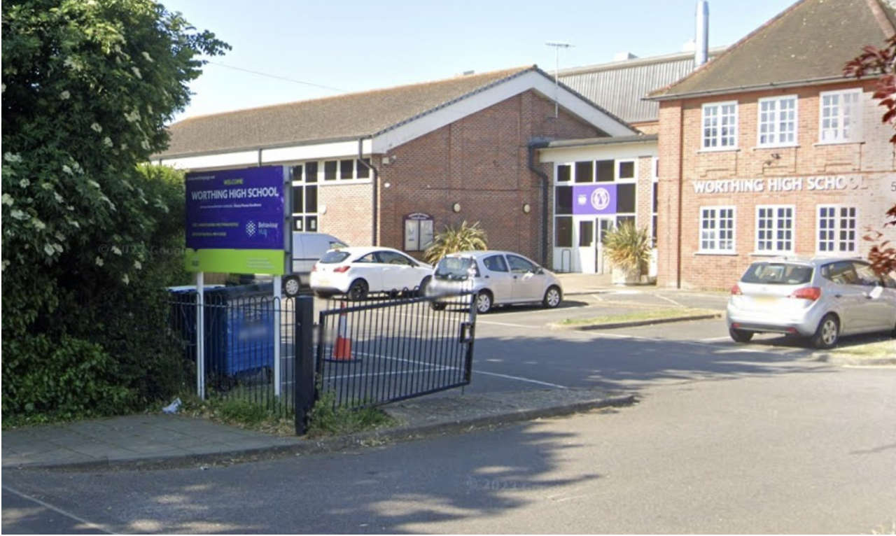 Over £2.4m Approved For Worthing School Support Centre
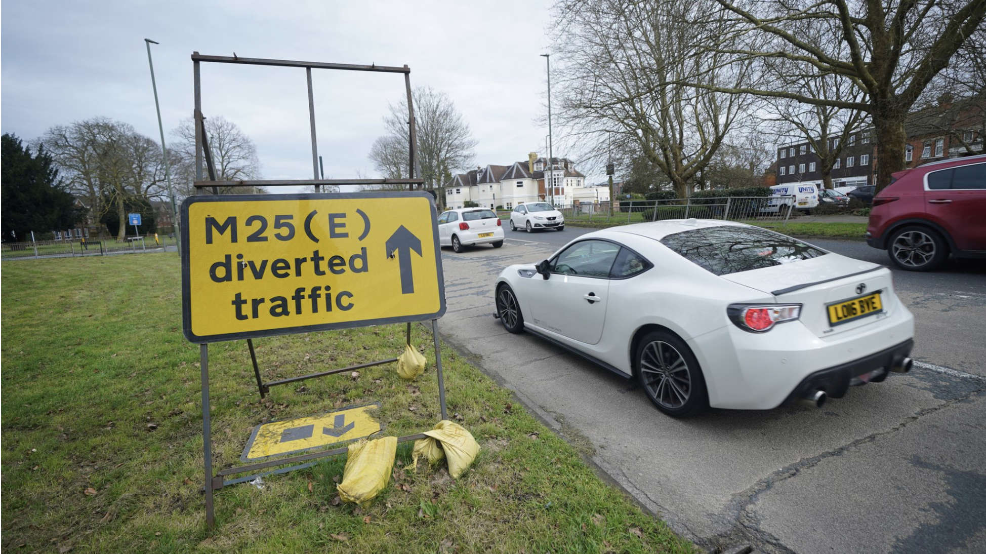 Section Of M25 To Close Again Tonight - As Drivers Warned Not To Get Complacent
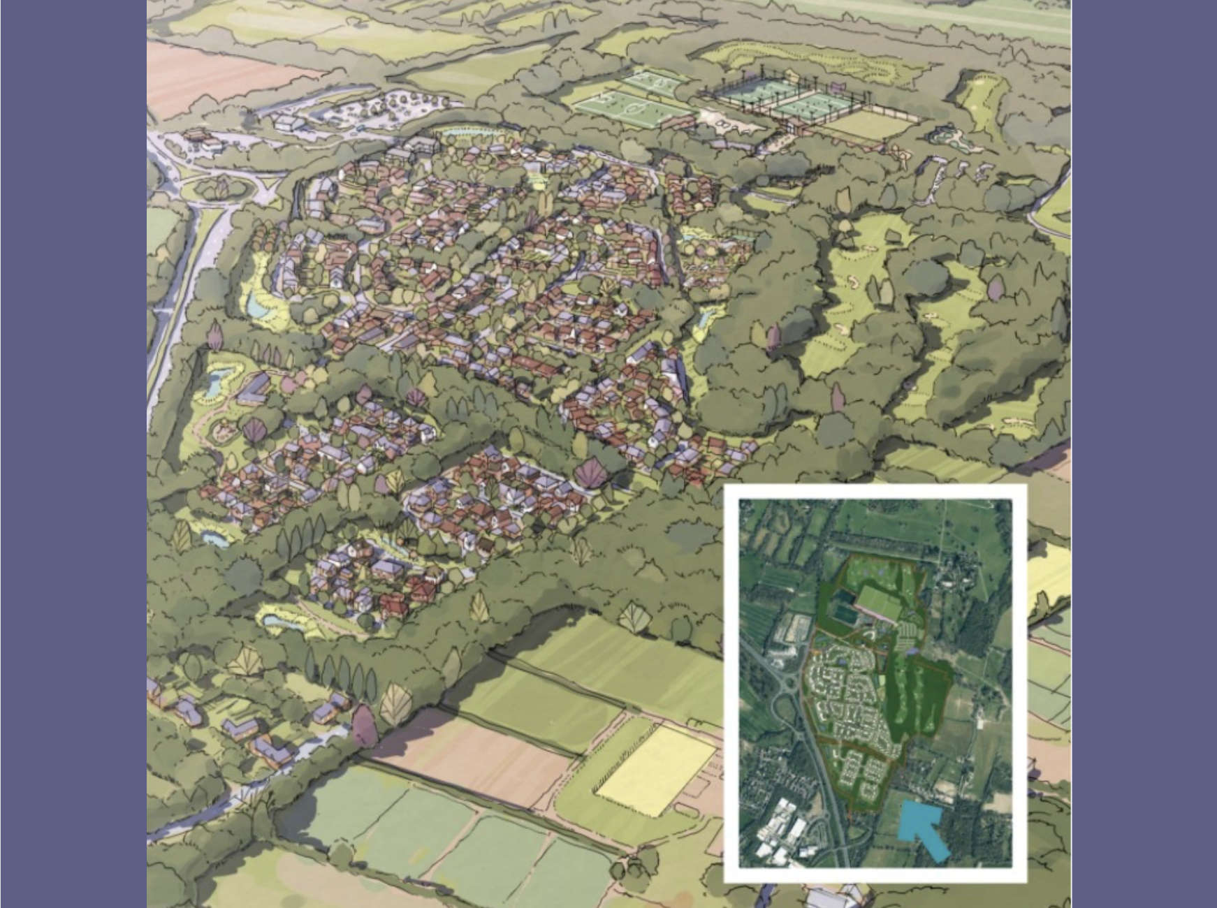 Plans For 800 New Horsham Homes Refused
 Over 200 Co-Living Flats Approved For Brighton