


A day and a night filled with an official weather warning for almost the whole of Sussex begin on Wednesday.
Throughout Wednesday (December 30) and the early hours of Thursday, Met Office forecasters say there's the possibility that snow and ice could cause disruption.
There's little certainty about where the snow might fall, but it's more likely that any rain will freeze on untreated surfaces overnight.
Relating the story of what's expected, Britain's official forecasters said today (December 28):
"An Atlantic frontal system looks likely to bring rain into parts of southwestern Britain on Wednesday.
"As this moves further east into colder air there is a chance of this rain turning to snow.
"The extent of any snow is very uncertain, but 2 to 5 cm could fall across a swathe of southern Wales, central and southern England, with a small chance of 10 to 15 cm settling in a few places, most likely on high ground above 200 metres.
"As the rain and snow clears on Wednesday night there is a risk of widespread ice forming on untreated surfaces."
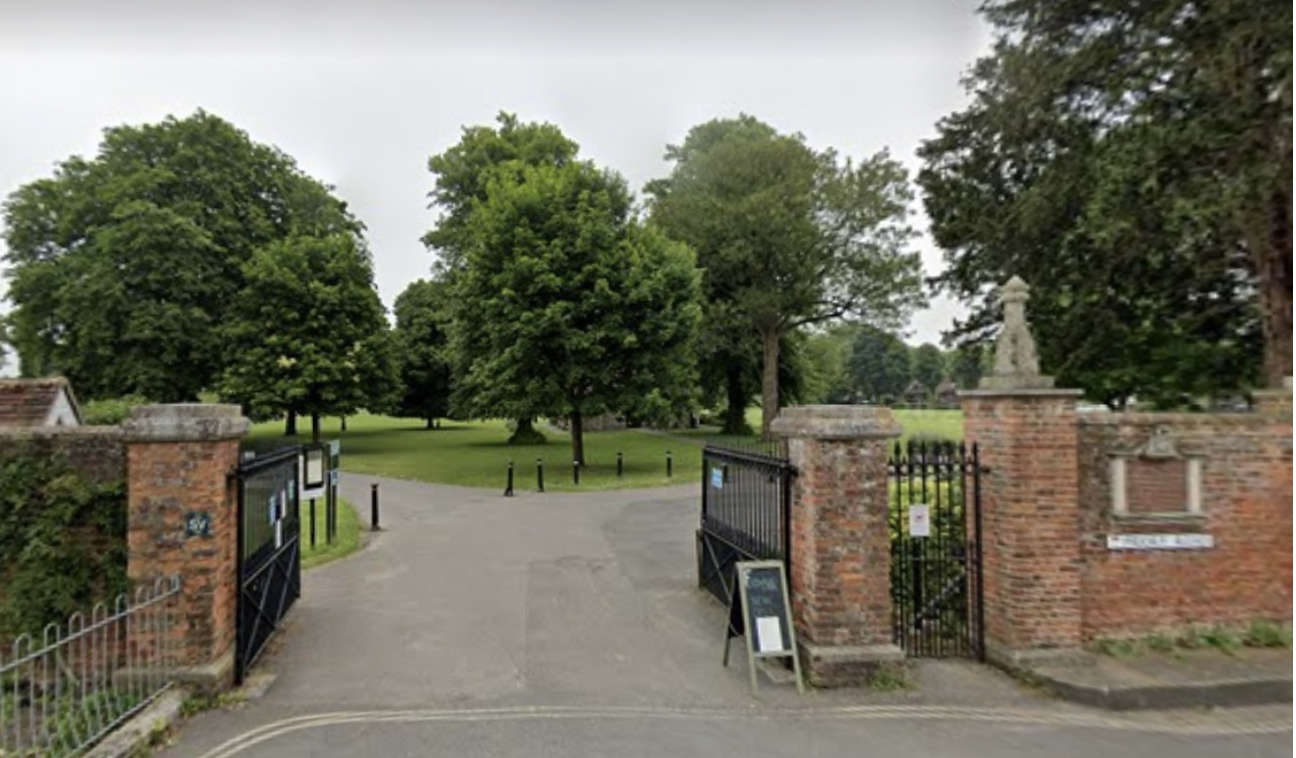 No Ice Rink For Chichester This Christmas
 Alcohol Ban In Ibiza And Majorca - What Tourists Need To Know As New Rules Come In
 New Bathing Water Sites Approved In Worthing
 Renowned Sussex Band Donates To KSS Helicopter Appeal
 Adam Lallana To Leave Albion At End Of Season.
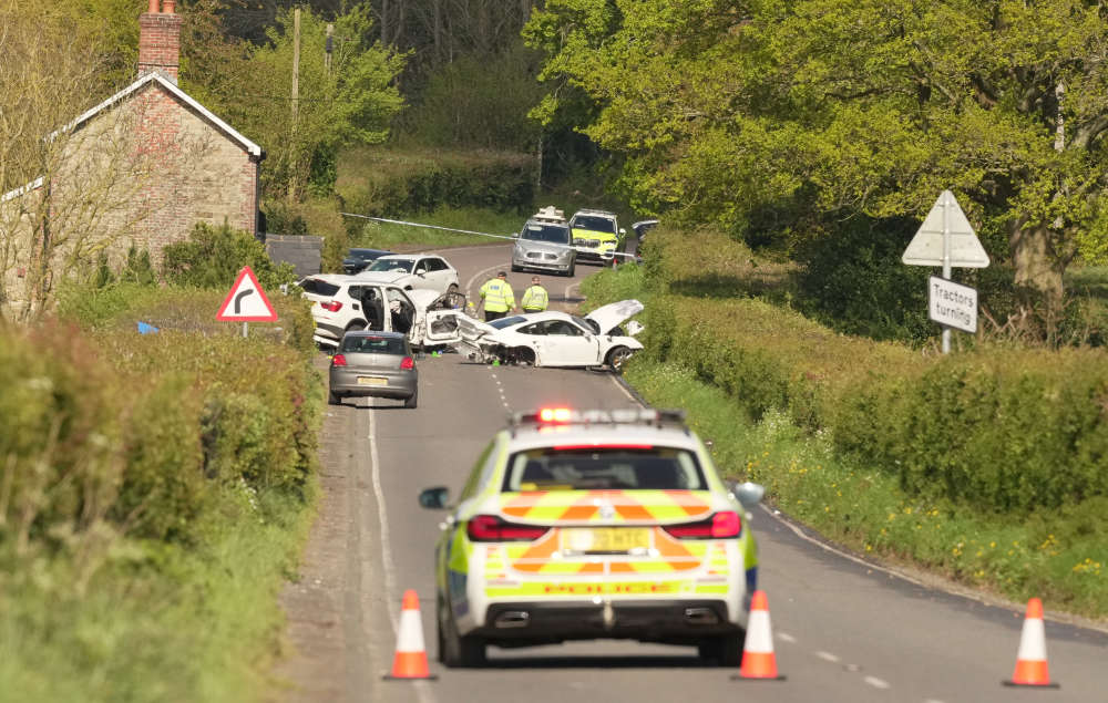 Update On Investigation Into Fatal Collision Near Petworth
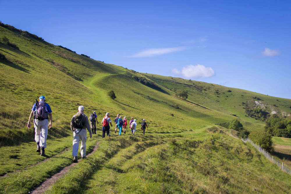 Mental Health Awareness Week: Free Health Walks In Brighton & Hove
 Lewes Prison Under Pressure As Penal Reform Charity Responds To Latest Report
 PHOTOS: Ed Sheeran Makes Surprise Visit To Brighton School
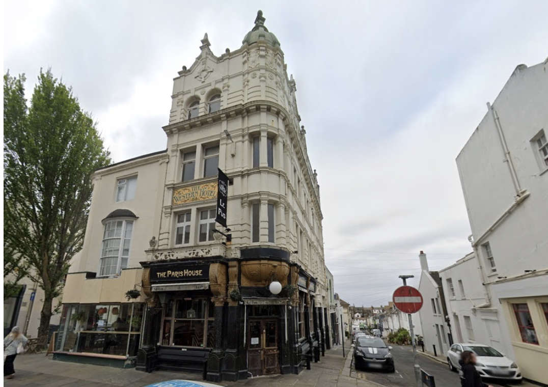 Hove Bar Licence Reviewed After Years Of Complaints
Comments
Add a comment