


Britain's official weather forecasters have widened their warning of predicted travel disruption in Sussex on tonight and into Friday, May 21.
Met Office staff added temporary outdoor structures, such as garden furniture and gazebos, could be blown away.
There could also be a danger to some tree branches.
But they said the worst winds would be along the Sussex coast and in hilly areas, as inland gusts of up to 50 mph become worse at the water's edge and on the South Downs.
There, wind speeds of up to 60 mph could be felt.
A Met Office spokesperson described the weather system:
"An unusually deep area of low pressure for the time of year will move slowly eastwards across a central swathe of the UK during Thursday night and Friday.
"In addition to some heavy rain, this low will bring with it a spell of relatively high winds.
"The windiest conditions will start to affect south Wales and southwest England Thursday late afternoon and evening before spreading across all of southern England on Thursday night and early Friday.
"Inland, gusts up to 45 to 50 mph are expected at times whilst over coasts and hills gusts will reach as much as 55 to 60 mph.
"These high winds then slowly ease from the west during Friday."
Below is an updated (Thursday morning) animation of the storm crossing the UK, using data supplied by the German Deutsche Wetterdienst service, based on measurements made late on Wednesday night.
Darker colours mean stronger winds, and Sussex has the strongest in England at one point.
 Council Calls On West Sussex Residents To Consider Fostering
 Meghan, Duchess Of Sussex, Says Nigeria Is 'My Country' On Visit With Prince Harry
 Two Men Wanted In Connection With Hastings Fatal Collision
 M25 Reopens Seven Hours Ahead Of Schedule
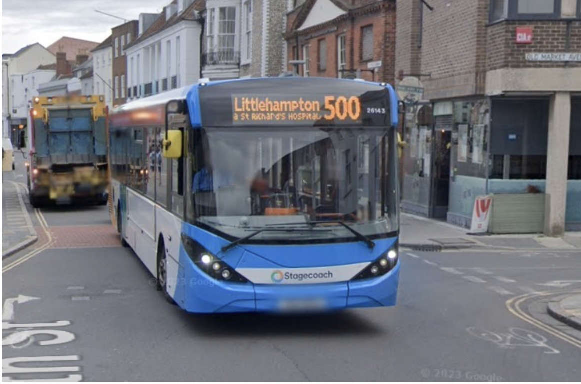 More 'Live' Bus Information Screens To Be Installed In West Sussex
 Rare Bee Found In Lewes
 Event Bookings Go Live For Worthing Festival ‘24
 Man Charged After Throwing Brick Through Brighton Restaurant Window
 Peacehaven Man Disqualified Over High-Speed A27 Pursuit Near Brighton
 Appeal After PCSO Assaulted In Uckfield