


A Yellow Weather Warning for ice and snow has been issued for Sussex.
The Met Office warning will be in place from 6pm this evening (Tuesday) until 10am tomorrow morning, with snow and ice causing travel disruption in places.
Some roads and railways are likely to be affected, leading to longer journey times by car, as well as bus and train services
Snow and sleet falling on frozen surfaces may lead to icy conditions, increasing the risk of accidents and injuries.
The combination of wind and snow may cause some drifting and very poor visibilities, especially over hills and moors
Further details

Intermittent, mostly light, snow across southwest England on Tuesday afternoon may become a little heavier and more widespread into Tuesday night, before clearing southwards on Wednesday.
Near some coasts sleet is more likely, especially at first, but this brings an ice risk.
Strong winds may cause drifting and poor visibility, especially where the snow is likely to be heavier.
Here, 5 to 10cm snowfall may accumulate above 200 metres.
Towards the north and east of the warning area small amounts of snow, mostly no more than 1cm, seem likely.
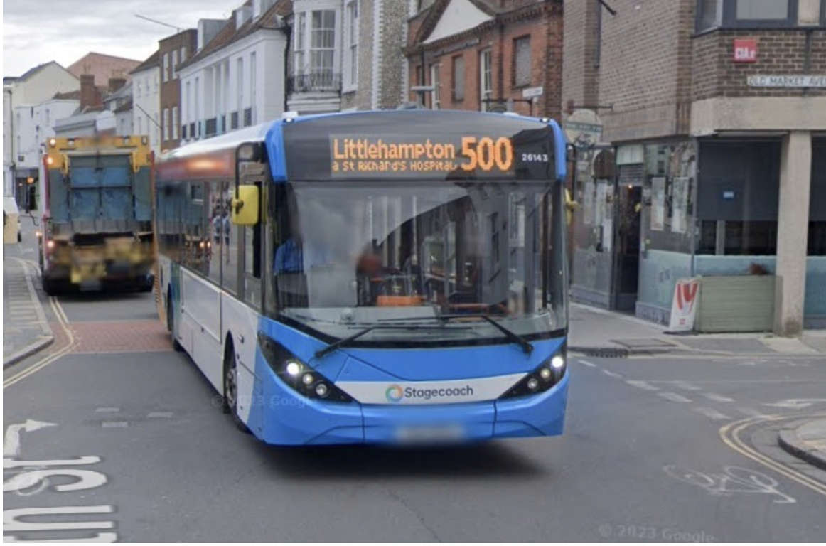 More 'Live' Bus Information Screens To Be Installed In West Sussex
 Rare Bee Found In Lewes
 Event Bookings Go Live For Worthing Festival ‘24
 Man Charged After Throwing Brick Through Brighton Restaurant Window
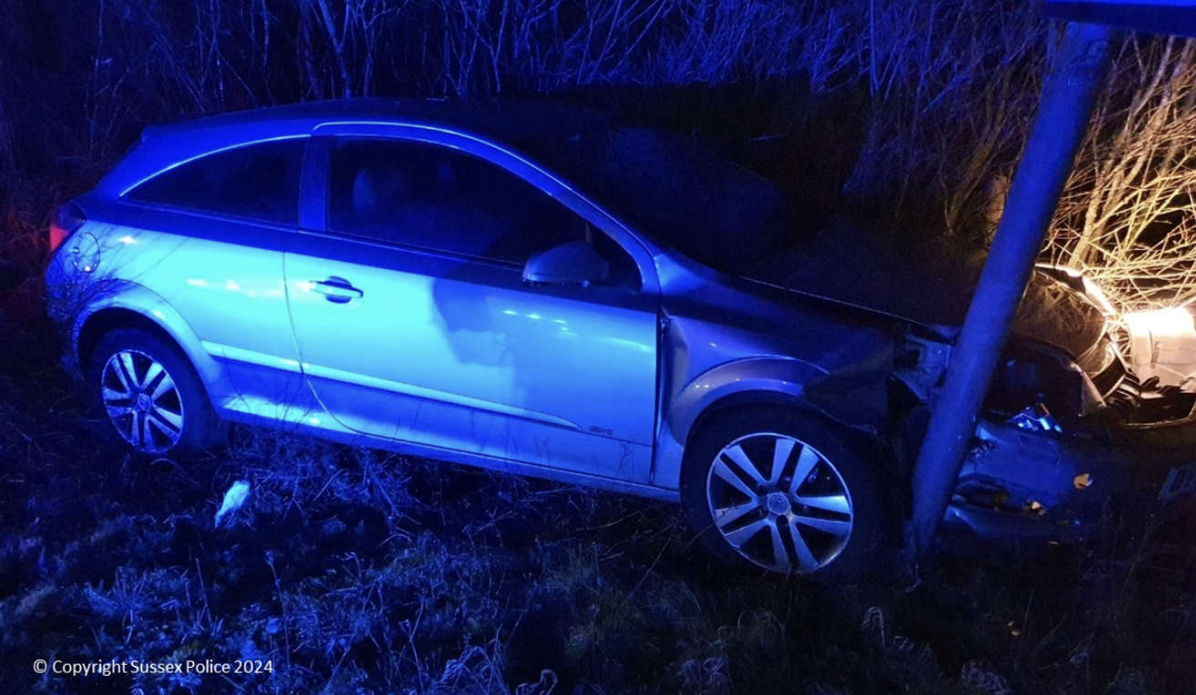 Peacehaven Man Disqualified Over High-Speed A27 Pursuit Near Brighton
 Appeal After PCSO Assaulted In Uckfield
 Man Charged With Rape Of Teenage Girl In Newhaven
 Overnight Closures For A22 Forest Row Road Improvements
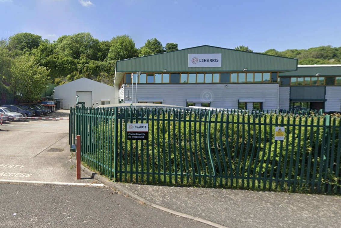 Brighton Defence Manufacturer's Controversial Planning Application Likely To Be Heard
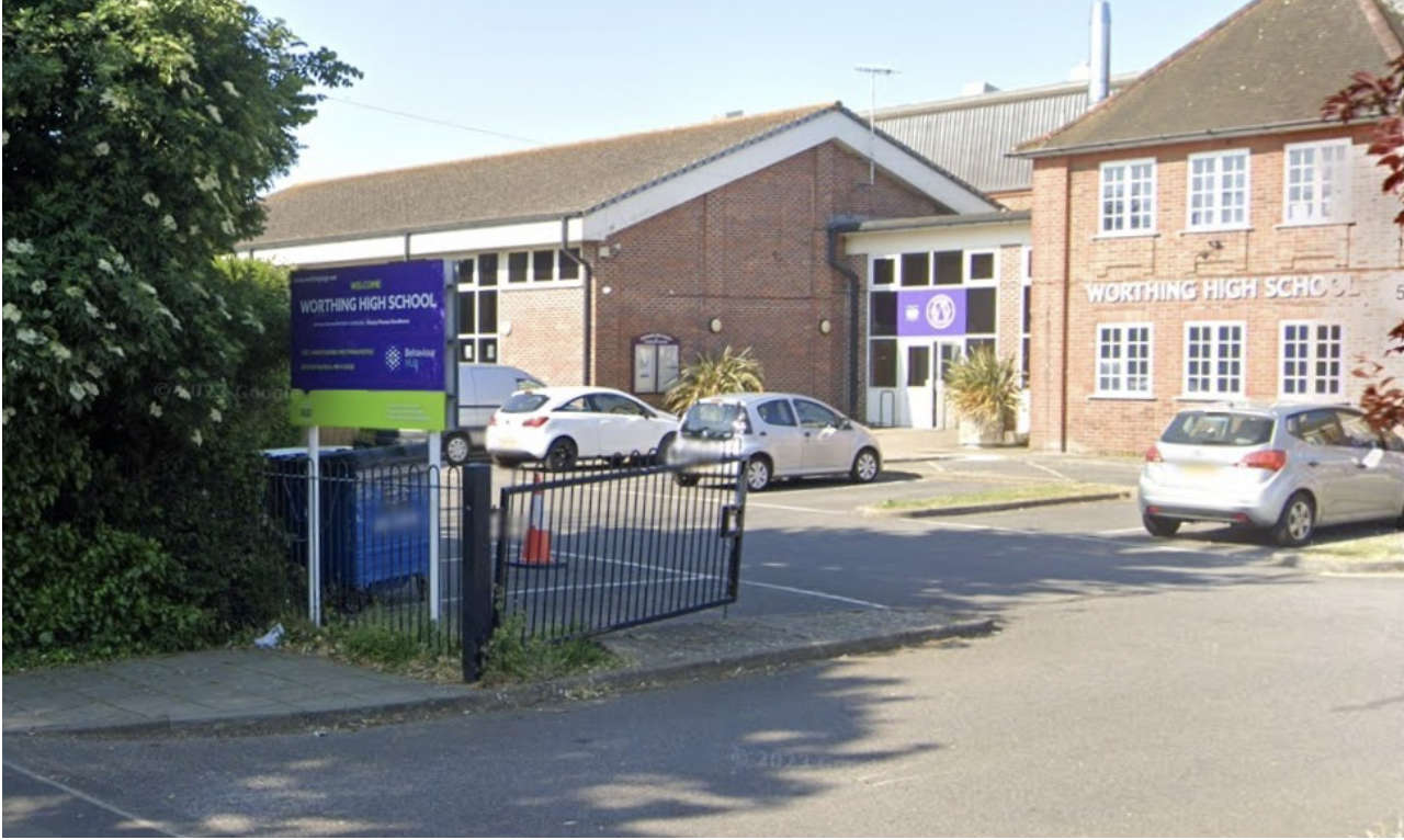 Over £2.4m Approved For Worthing School Support Centre
Comments
Add a comment